
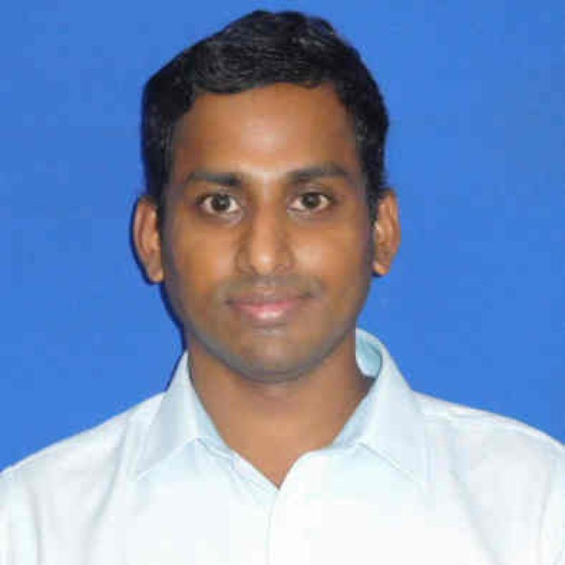
Prof. Pennan Chinnasamy is an interdisciplinary researcher and academic at the Indian Institute of Technology Bombay (IIT Bombay), working at the intersection of Geospatial Science, Artificial Intelligence (AI), Machine Learning, Climate Science, Water Resources, and Sustainable Development. He is associated with the Centre for Technology Alternatives for Rural Areas (C-TARA) and leads research initiatives through the Rural Data Research and Analysis (RuDRA) Laboratory.
His research focuses on leveraging geospatial technologies, satellite remote sensing, GIS, open-source geospatial platforms, AI/ML, and data-driven modelling to address complex challenges in agriculture, water security, climate resilience, natural resource management, and rural development. He has extensive experience in developing multi-source geospatial frameworks, digital twins, predictive analytics, and decision-support systems for evidence-based planning and policy implementation. He is also actively involved in geospatial capacity building, open-source GIS promotion, and translating scientific research into scalable societal applications, particularly for rural and underserved communities.