
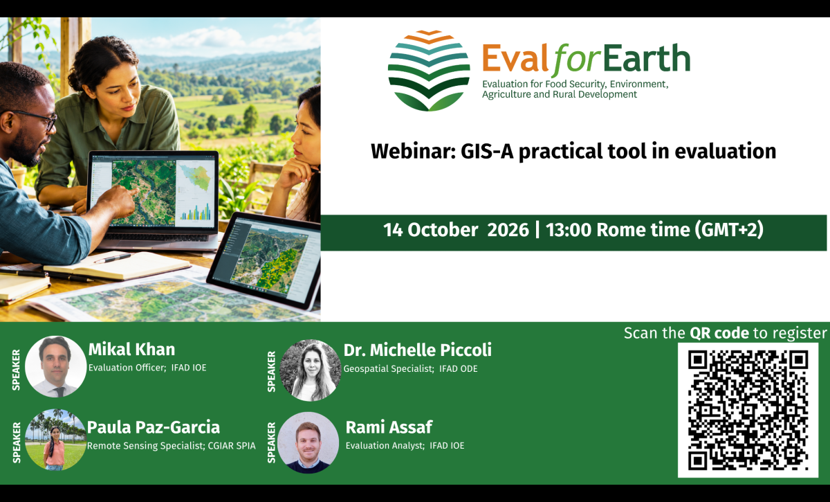
Geographic Information Systems (GIS), remote sensing, and other geospatial tools are increasingly strengthening how programmes, policies, and interventions are monitored and evaluated. By combining spatial information with survey, administrative, and environmental data, these tools can help evaluators identify geographic patterns, verify results, assess change over time, and strengthen the evidence underpinning evaluation findings and recommendations. As evaluators face shrinking budgets, limited access to remote or conflict-affected areas, and growing demand for timely and credible evidence, the relevance of these tools continues to increase. Drawing on practical experience from IFAD’s Independent Office of Evaluation (IOE) and Office of Development Effectiveness (ODE), as well as CGIAR’s Standing Panel on Impact Assessment (SPIA).
This webinar will explore how GIS and remote sensing are being applied in evaluation, including infrastructure assessment, remote field observation, and the use of satellite imagery and survey data in impact evaluation.
SPEAKERS
Dr. Michelle Piccoli| Geospatial Specialist| International Fund for Agricultural Development (IFAD), Office of Development Effectiveness (ODE): Geospatial Specialist at IFAD with over 15 years of experience in remote sensing, Earth Observation, and geospatial data science. Her work focuses on applying innovative geospatial solutions to agricultural monitoring, impact assessment, and sustainable rural development, bridging science, technology, and policy to support evidence-based decision-making.
Rami Assaf | Evaluation Analyst| International Fund for Agricultural Development (IFAD), Independent Office of Evaluation (IOE): An Evaluation Analyst at IFAD’s Independent Office of Evaluation with over 7 years of experience in the evaluation world. He has been testing and applying GIS software in evaluations, using the evidence it generates to support learning and accountability.
Mikal Khan | Evaluation Officer| International Fund for Agricultural Development (IFAD), Independent Office of Evaluation (IOE): Mikal has worked for around 16 years in the international development sector. He is currently an Evaluation Officer at IFAD’s Independent Office of Evaluation where he conducts evaluations of IFAD-funded operations and serves as focal point for geospatial tools for evaluation. Prior to joining IFAD, he served as an Evaluation Specialist in the Independent Evaluation Office of UNDP and the Office of Evaluation of FAO.
Paula Paz-Garcia| Remote Sensing Specialist, CGIAR SPIA (Standing Panel on Impact Assessment) Country Studies: Research Specialist with expertise in Remote Sensing and geospatial analysis. She joined SPIA in 2024 as a Remote Sensing advisor. Her research interests include monitoring land cover and land use changes using satellite imagery and Machine Learning, as well as identifying the environmental impacts of commodity sourcing to inform key stakeholders. Paula has experience working at the Alliance Bioversity and CIAT on the Terra-I project, a monitoring system for vegetation loss, where she implemented and calibrated methods for change detection, conducted field data collection, and collaborated with policymakers in Latin American countries to adopt the Terra-I method and data for national-level forest conservation. She has also been involved in engagement activities, capacity building, and training programs on geospatial information for the SERVIR Amazonia and Caribbean project. Paula’s background is in Topographic Engineering, and she is currently pursuing a Master's degree in Electronic Engineering at Universidad del Valle, Colombia, with a focus on estimating shade tree density in coffee agroforestry systems using Machine Learning and Remote Sensing techniques.